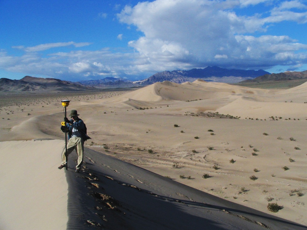
A Smithsonian research team investigating the dynamics of sand dunes on the Earth and other planets used this type of GPS unit in 2005 at Ibex Dunes in Death Valley National Park.
Caption:
A Smithsonian researcher using high-precision GPS to survey a sand dune.
Type: Photograph
Image Date: January 6, 2005
Image Taken: Ibex Dunes, Death Valley National Park, Inyo County, California, United States
Credit: National Air and Space Museum, Smithsonian Institution
Origin: National Air and Space Museum, Smithsonian Institution