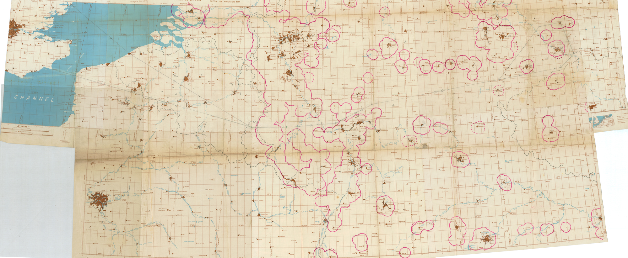
Navigators on H2X-equipped B-17s and B-24s of the U.S. Army Air Forces used radar charts like this one. The chart features a mission with Ruhland, Germany, as a target. This refinery center was struck several times by the Eighth Air Force in the winter of 1944-45, and was the primary target when overcast conditions on February 15, 1945, caused American bombers to select Dresden as the nearest radar target of opportunity. The city was already reeling from heavy RAF incendiary raids the night before, and the civilian casualties resulting from the combined Anglo-American strikes cause the episode to be one of the most contentious of the European air war. The chart, consisting of several charts adhered together, also features defensive flak belts hand inked on by an intelligence officer.
Caption:
Radar chart, possibly used by the U.S. Eighth Air Force on the Dresden raid, February 15, 1945.
Type: Map
Image Date: 1945
Credit: National Air and Space Museum, Smithsonian Institution.