


Multimedia Gallery
- Navigation Methods: Celestial Navigation

Lines of latitude are imaginary lines circling the globe parallel to the equator. The lines are designated in degrees north or south of the equator, from 0° at the equator to 90° at the poles.
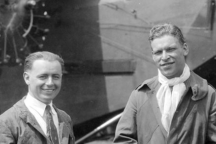
Lt. Lester Maitland and Lt. Hegenberger with the Fokker C-2 Bird of Paradise.

In 1837, Captain Thomas Sumner of Boston devised what would become "line of position" sailing.
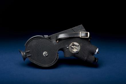
The Link A-12 Sextant represented a new generation of “averaging” sextants.

Lizards, South America (Teius teguixin, Brachylophus fasciatus, Hoplodactylus pomarii)

This Lockheed RC-121D featured periscopic sextant ports for celestial sightings, eliminating the need for astrodomes.
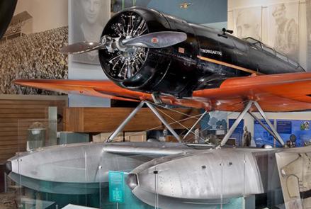
Charles Lindbergh and his wife Anne Morrow made a series of transoceanic airline survey flights in this Lockheed Sirius.

Advances in computing made celestial navigation practical for the Mach 3+ SR-71.

The Astroinertial Navigation System helped this SR-71 Blackbird's crew set a coast-to-coast speed record of only 68 minutes.
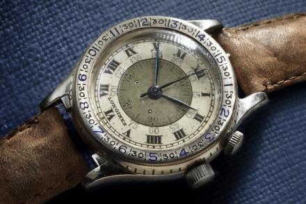
The Lindbergh Hour Angle Watch eliminated a simple but troublesome calculation in celestial computations.