


Multimedia Gallery
- Topic: Navigation Tools

Instructor for Weems System of Navigation
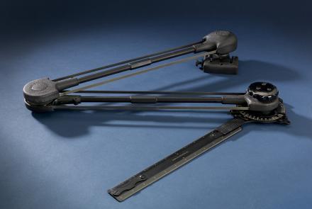
Used for plotting on larger aircraft, such as bombers and transports.
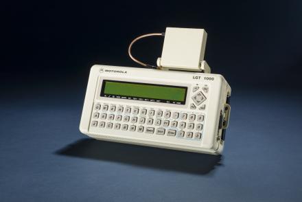
The Motorola LGT 1000 was used for better accuracy by scientists.
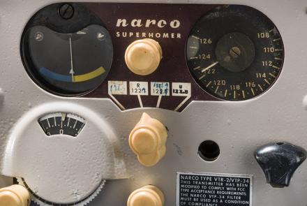
This mid-1950s era VOR receiver helped usher in a new era of all-weather navigation capability for light aircraft at moderate cost.

Aircraft equipment receives microwave signals to create an image of ground features from signal time delays.
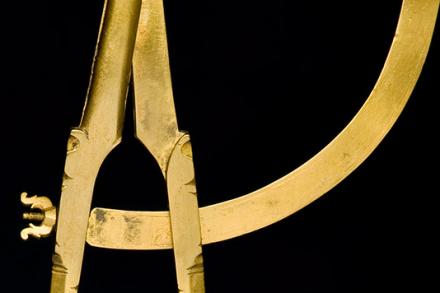
Navigational dividers measure the distance between two points on a chart to mark the ship’s position.
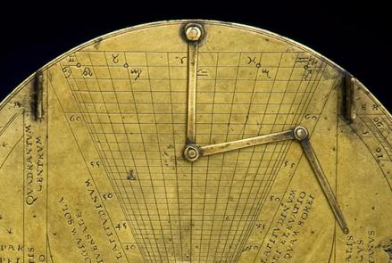
Nocturnal and Sundial, signed by Caspar Vopel, Cologne, 16th century
The Astroinertial Navigation System provided rapid celestial navigation fixes for the SR-71.
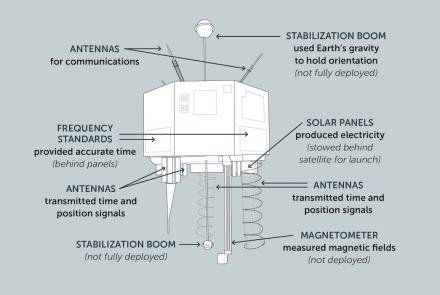
This illustration shows the important components of the NTS-2 satellite.
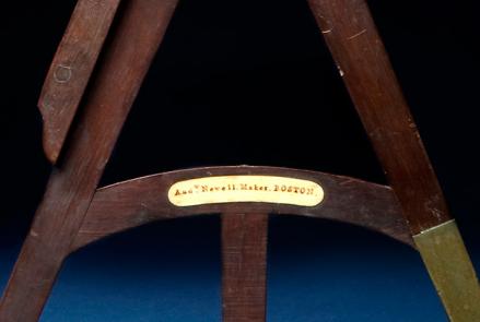
Octant marked: "Andrew Newell / Maker / Boston," about 1800