


Multimedia Gallery
- Innovations: GPS
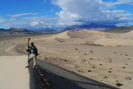
A Smithsonian researcher using high-precision GPS to survey a sand dune.
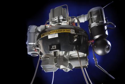
A tactical unmanned aerial vehicle for providing close observation in hazardous situations.
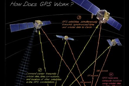
From maintaining infrastructure, transporting goods, delivering services, or just meeting friends, people often use technology just as sophisticated as that used by pilots and soldiers. How does it work?
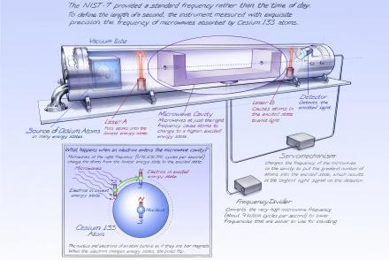
The NIST-7 provided a standard frequency rather than the time of day.
Length: 1 Minute, 8 Seconds

GPS-guided precision delivery system.
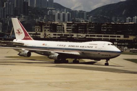
Seen in regular service before the September 1, 1983, shoot down of Flight 007.
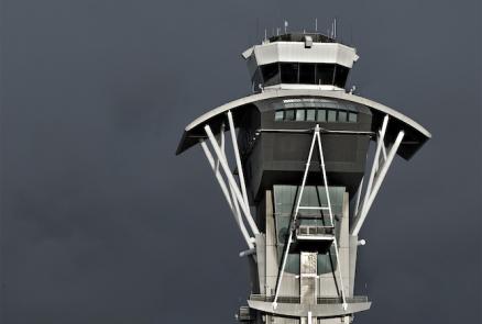
The control tower at Los Angeles International Airport is one part of a complex system of air navigation and traffic control.

A hand-held GPS receiver that provided geographic coordinates and a graphical display.

GPS navigation device with a digital map display.