Multimedia Gallery
- Innovations: Transit
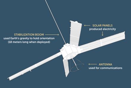
Transit was the first satellite-based global positioning and navigation system.
Mathematician Bill Guier (left), APL Research Center director Frank T. McClure (center), and physicist George Weiffenbach (right).
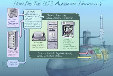
How did the USS Alabama navigate?
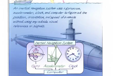
Inertial navigation systems determine the position, orientation, and velocity of a vehicle without using outside visual references.
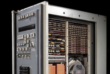
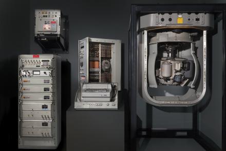
This computer, located in the Alabama’s navigation center, processed the data derived from the gyroscopes and accelerometers.
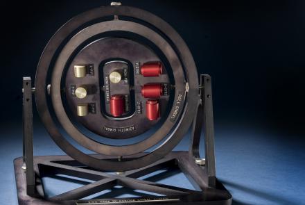
This is a model of a platform that is isolated from the movements of the ship, allowing those movements to be measured.
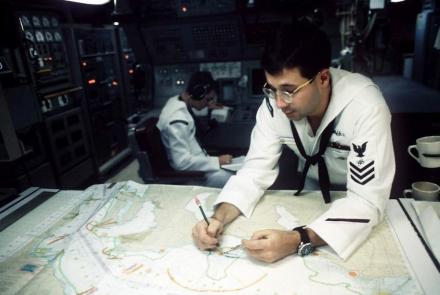
Electronics Technician 1st Class David Schlessinger on board the USS Alabama.
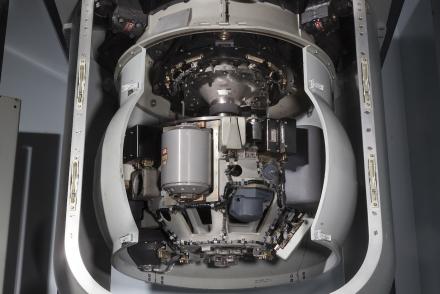
The components pictured here are just part of the Ship’s Inertial Navigation System (SINS) used to steer submarines such as the USS Alabama.
Information about the ship’s position, speed, heading, and attitude were constantly transmitted from the Ship's Inertial Navigation System (SINS).
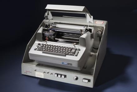
A modified IBM Selectric typewriter connected to a control unit provided input and output for the system computers.


