Multimedia Gallery
- Navigation Methods: Dead Reckoning
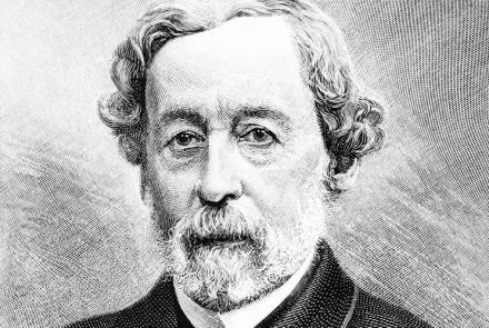
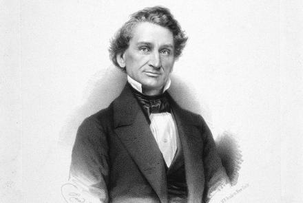
The U.S. Exploring Expedition included a formidable group of botanists, naturalists, artists, taxidermists, and other scientists.
The U.S. Exploring Expedition included a formidable group of botanists, naturalists, artists, taxidermists, and other scientists.
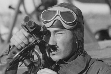
A navigator of Squadron VP-7 demonstrates a Kaster Spherant in the nose of a Douglas PD-1, December 1929.
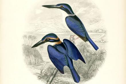
Kingfishers, Fiji (Todiramphus vitiensis)
Lines of latitude are imaginary lines circling the globe parallel to the equator. The lines are designated in degrees north or south of the equator, from 0° at the equator to 90° at the poles.
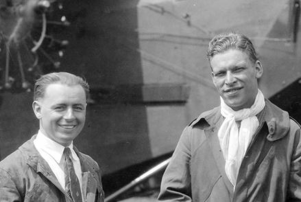
Lt. Lester Maitland and Lt. Hegenberger with the Fokker C-2 Bird of Paradise.
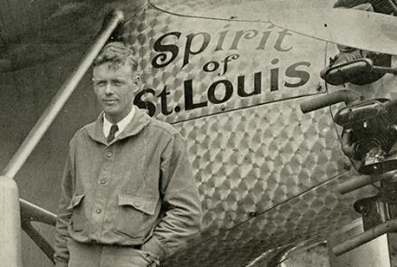
Charles Lindbergh in front of his Ryan NYP Spirit of St. Louis in St. Louis, Missouri.
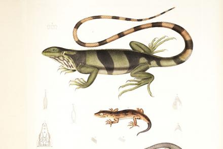
Lizards, South America (Teius teguixin, Brachylophus fasciatus, Hoplodactylus pomarii)
Advances in computing made celestial navigation practical for the Mach 3+ SR-71.
The Astroinertial Navigation System helped this SR-71 Blackbird's crew set a coast-to-coast speed record of only 68 minutes.


