Multimedia Gallery
- Navigation Methods: Inertial Navigation
This graphic shows how personal radiometric and inertial navigation devices could allow incident commanders to keep track of firefighters within a burning building.
This graphic shows how personal radiometric and inertial navigation devices could allow incident commanders to keep track of firefighters within a burning building.
"Black box" refers to more than just a flight data recorder for accident investigations. It often refers to electronic components in an aircraft that monitor or control flight or that support communication and navigation.
A professor and aeronautical engineer at MIT, Charles Stark Draper played a major role in advancing the art of inertial navigation.
Firefighter John F. Sullivan explains, “When firefighters enter a burning structure, especially large complex commercial buildings, they can quickly lose visibility and their ability to maintain orientation. And traditional GPS doesn’t work inside buildings.”
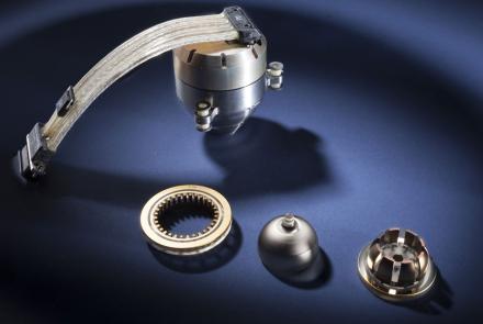
Most inertial navigation devises use a gyro that measures motion by the change in vibration of a cup-shaped device.
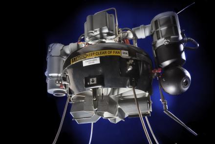
A tactical unmanned aerial vehicle for providing close observation in hazardous situations.
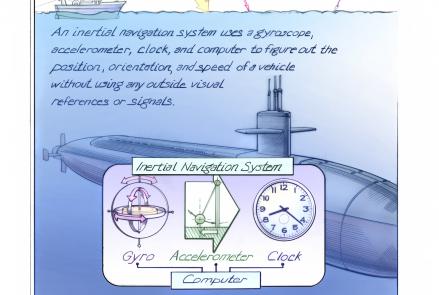
Inertial navigation systems determine the position, orientation, and velocity of a vehicle without using outside visual references.
Seen in regular service before the September 1, 1983, shoot down of Flight 007.
Advances in computing made celestial navigation practical for the Mach 3+ SR-71.


