Multimedia Gallery
- Navigation Methods: Satellite Navigation
Sandia National Laboratories researcher Darwin Serkland measures the wavelength of a tiny laser for chip-scale atomic clocks.
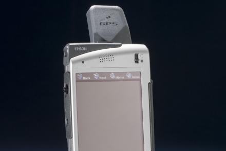
The Seiko Epson Digital Assistant was one of the earliest devices to incorporate GPS navigation with communication features.
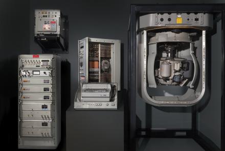
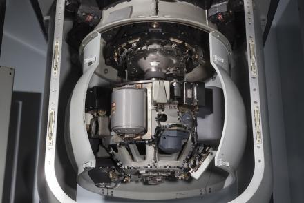
The components pictured here are just part of the Ship’s Inertial Navigation System (SINS) used to steer submarines such as the USS Alabama.
Information about the ship’s position, speed, heading, and attitude were constantly transmitted from the Ship's Inertial Navigation System (SINS).
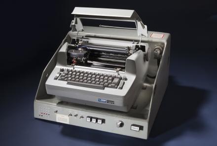
A modified IBM Selectric typewriter connected to a control unit provided input and output for the system computers.
Intense solar activity causes material to erupt from the Sun.
Solar activity can interfere with satellite signals.
Staff Sgt. Derek Howard, 816th Expeditionary Airlift Squadron, watches cargo bundles delivered by the Joint Precision Air Drop System (JPADS) to a drop zone in Afghanistan.
The successful operation of a satellite navigation system requires around-the-clock monitoring of the satellites’ health and the periodic replacement of older satellites.
The increasing reliance on navigation satellites for military and commercial activities makes them a tempting target for an enemy.


