Multimedia Gallery
- Topic: Navigation Tools
A Smithsonian researcher using high-precision GPS to survey a sand dune.
Length: 2 Minutes, 17 Seconds
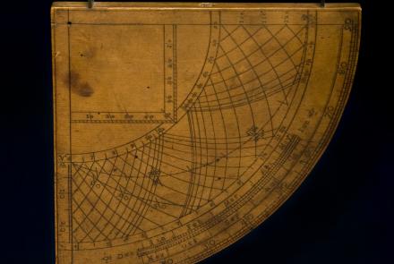
A horary quadrant is used to find the time of day by measuring the Sun’s altitude.
This sketch shows how the images of a star field and a globe were superimposed over what the astronaut observed through the window.
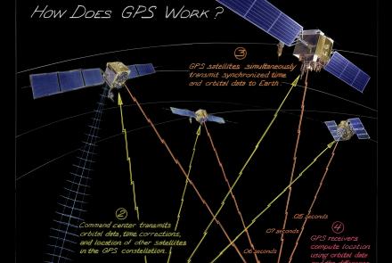
From maintaining infrastructure, transporting goods, delivering services, or just meeting friends, people often use technology just as sophisticated as that used by pilots and soldiers. How does it work?
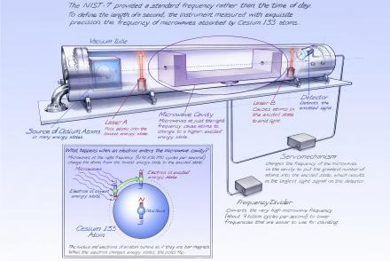
The NIST-7 provided a standard frequency rather than the time of day.
Length: 2 Minutes, 1 Second
In a hyperbolic system such as LORAN, a receiver on an aircraft or ship picks up radio signals broadcast by one or more pairs of radio stations spaced hundreds of miles apart.
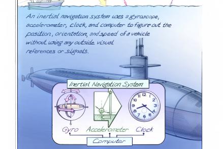
Inertial navigation systems determine the position, orientation, and velocity of a vehicle without using outside visual references.
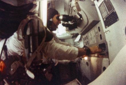
James Lovell looks through the telescope in the Apollo 8 command module.


