


Multimedia Gallery
- Search Terms: Global Positioning System

The Manpack was one of the first portable GPS receivers for combat troops.

A corn and soybean farmer from Rippey, Iowa.
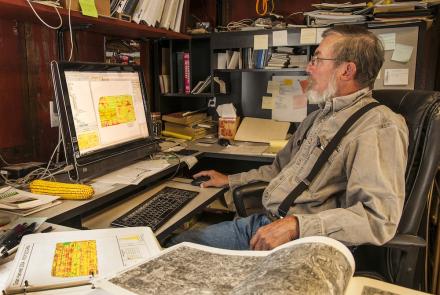
Farmer Roy Bardole, seated in his office, views an agricultural GPS image on his computer monitor while field maps are laid out on his desk.

Farmer Roy Bardole seated at the controls of his combine in a cornfield on farm in Iowa. A GPS guidance system display is mounted at the top center on right side of cab.
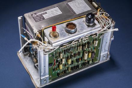
This atomic clock was built for the first GPS satellites in the late 1970s.

The GPS Operations Center at Schriever Air Force Base in Colorado Springs controls the GPS satellites.
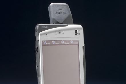
The Seiko Epson Digital Assistant was one of the earliest devices to incorporate GPS navigation with communication features.

Staff Sgt. Derek Howard, 816th Expeditionary Airlift Squadron, watches cargo bundles delivered by the Joint Precision Air Drop System (JPADS) to a drop zone in Afghanistan.

The successful operation of a satellite navigation system requires around-the-clock monitoring of the satellites’ health and the periodic replacement of older satellites.

The increasing reliance on navigation satellites for military and commercial activities makes them a tempting target for an enemy.