Multimedia Gallery
Search results for:
- Search Terms: Satellite
Displaying 61 - 70 of 142
Artifact
Computer and display screen for the Magellan PathMaster Navigation Information System.
Artifact
This unit was designed for navigating vehicles on land using Transit satellite transmissions and a magentic compass and monitoring the speed of movement.
Photograph
GPS and other satellite positioning systems were designed to use quiet parts of the spectrum.
Map
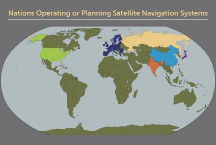
Map of nations with satellite navigation systems.
Artifact
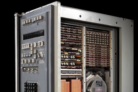
This computer, located in the Alabama’s navigation center, processed the data derived from the gyroscopes and accelerometers.
Photograph
Engineers testing systems before the launch of Mariner 1 in 1962.
Photograph
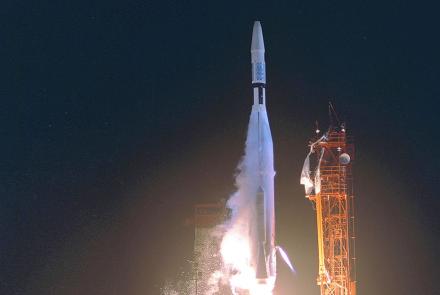
Launch of Mariner 1 on July 22, 1962.
Artifact
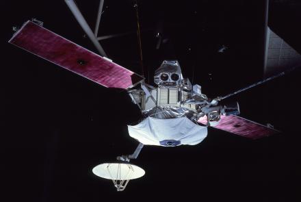
Mariner 10 used the gravity of Venus to propel itself to Mercury.
Photograph
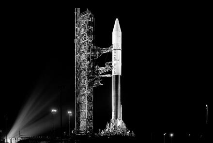
Mariner 10 on board an Atlas-Centaur Rocket.
Illustration
Launched in 1973, Mariner 10 used the gravity of Venus to propel it to Mercury with a minimal use of fuel.


