


Multimedia Gallery
Search results for:
- Search Terms: World War 2
Displaying 21 - 30 of 62
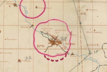
Map
The radar chart depicted a mission to oil refineries on the outskirts of Ruhland on February 15, 1945.

Photograph
Long-range Navy patrol aircraft required better all-weather navigation systems like LORAN.
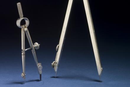
Artifact
These tools were critical for quickly accessing distances and plotting courses.

Photograph
An astrodome on a Douglas C-47, circa 1944.
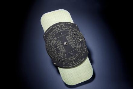
Artifact
The E-6B remains the most successful flight computer ever made.

Photograph
Harry H. Crosby wore this insignia during his service with the 8th Air Force.

Photograph
Eighth Air Force Patch and Navigator’s Wings.

Map
British and American air navigators used this type of lattice chart with the Gee system over western Europe during World War II.
Photograph
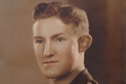
Lead navigator of the 100th Bomb Group, Eighth Air Force.

Photograph
After the harrowing losses of 1943, Crosby and his fellow crew members found less opposition in 1944 and 1945. However, navigational challenges increased as missions moved deeper into central Europe.