Satellite navigation helps farmers meet the challenge of increasing crop yields and lowering costs. They can use precise positioning to plant and harvest faster and more efficiently than ever before. And by applying fertilizers and pesticides more precisely, they can reduce the environmental impact of raising crops.
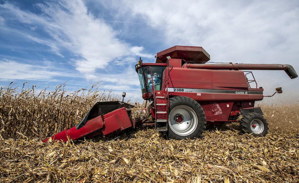
Caption:
A combine, driven by farmer Tim Bardole, harvesting corn on his farm in Iowa. The combine is outfitted with a GPS guidance system.
Type: Photograph
Image Date: September 20, 2012
Image Taken: Rippey, Iowa, United States
Credit: National Air and Space Museum, Smithsonian Institution
Origin: National Air and Space Museum, Smithsonian Institution