Multimedia Gallery
- Topic: Satellite Navigation
This graphic shows how personal radiometric and inertial navigation devices could allow incident commanders to keep track of firefighters within a burning building.
This graphic shows how personal radiometric and inertial navigation devices could allow incident commanders to keep track of firefighters within a burning building.
A combine, driven by farmer Tim Bardole, harvesting corn on his farm in Iowa. The combine is outfitted with a GPS guidance system.
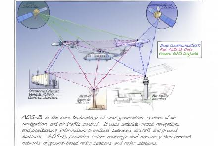
ADS-B is the core technology of next-generation systems of air navigation and air traffic control.
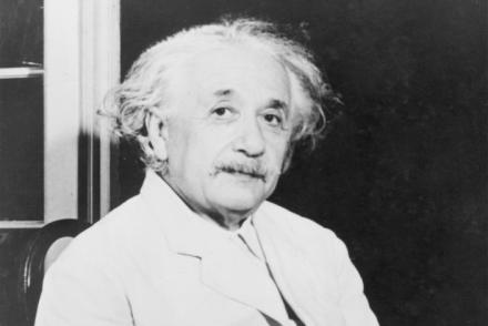
The atomic clocks in the GPS system are so accurate that they take into account Albert Einstein’s understanding of time, space, and relativity.
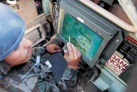
A soldier using the Blue Force Tracker System.
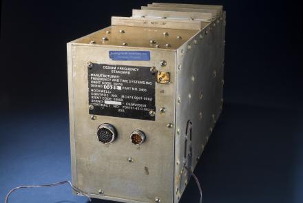
A cesium clock like this was tested on the NTS-2 satellite to see if clocks could keep accurate time in space.
This atomic clock was built for the first GPS satellites in the late 1970s.
A professor and aeronautical engineer at MIT, Charles Stark Draper played a major role in advancing the art of inertial navigation.
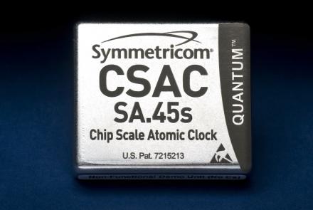
This represents the first commercially available chip-size atomic clock.


