


jn2012-1341.jpg

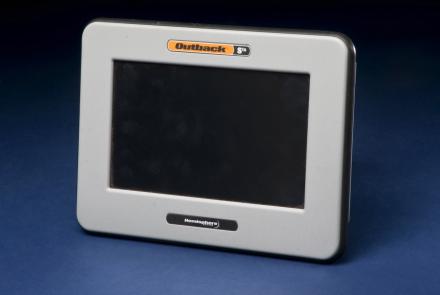
Roy Bardole used this touch-screen computer and an antenna (not shown) to receive enhanced GPS signals for working corn and soybean acreage in Iowa.
jn2012-1321.jpg

Roy Bardole used this touch-screen computer and an antenna (not shown) to receive enhanced GPS signals for working corn and soybean acreage in Iowa.

