Multimedia Gallery
Search results for:
- Innovations: Charts
Displaying 1 - 10 of 10
Map
A wartime chart of a commonly used ferry route.
Photograph
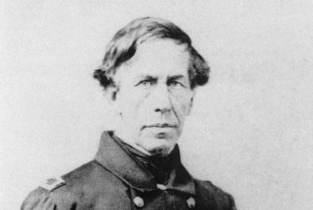
Captain Charles Wilkes led the U.S. Exploring Expedition, which sailed around the world between 1838 and 1842.
Map
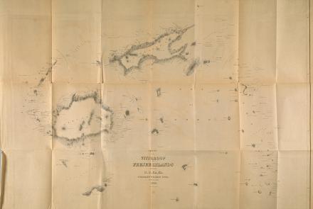
Map produced by the U.S. Exploring Expedition.
Map
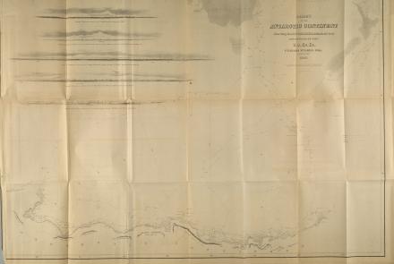
Map produced by the U.S. Exploring Expedition
Map
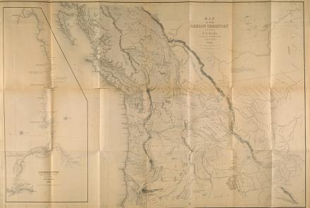
Map produced by the U.S. Exploring Expedition
Document
Lt. Micajah G. L. Claiborne's remarks about navigation observations during the expedition.
Illustration
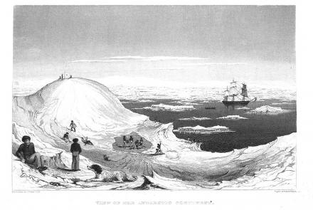
A sketch by Charles Wilkes during the U.S. Exploring Expedition.
Artifact
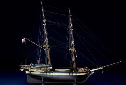
One of six ships of the U.S. Exploring Expedition, the Porpoise sailed around the world between 1838 and 1842.
Map
This map depicts their route and includes eyewitness accounts from crew members who had to navigate through unfamiliar seas and lands.


