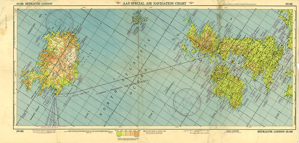
AAF Special Air Navigation Chart (S-145), Stephenville to Reykjavik, 1946, Scale 1:3,000,000
The Army Air Forces constructed charts that were centered on the flight path of common long-distance routes. This often meant that the top of the chart was not north, but it made plotting easier for overworked navigators.
Caption:
A wartime chart of a commonly used ferry route.
Type: Map
Image Date: April 1945
Credit: National Air and Space Museum, Smithsonian Institution