Multimedia Gallery
Search results for:
- Navigation Methods: Radio Navigation
Displaying 1 - 10 of 103
Photograph
Alfred Loomis pioneered the key navigation technology of LORAN.
Illustration
“Flying the beam” in the 1930s and 1940s meant using radio range stations to navigate.
Photograph
First tested by Pioneer 4, this 26-meter antenna would later become part of the Deep Space Network.
Photograph
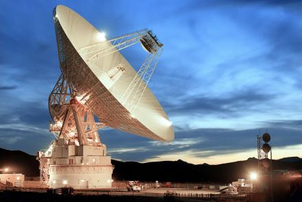
This antenna at Goldstone, California has become a symbol of space communication.
Map
A wartime chart of a commonly used ferry route.
Photograph
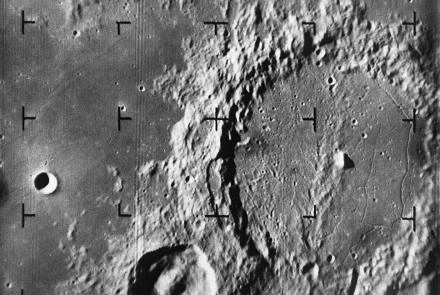
Alphonsus crater taken by Ranger 9 Spacecraft.
Photograph
Earhart's lack of familiarity with the Bendix radio direction finder was a significant liability.
Artifact
The first LORAN receiver for aircraft use to enter service.
Photograph
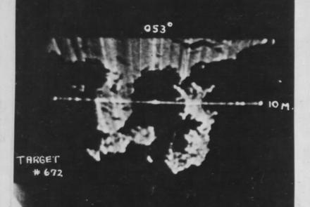
The much improved resolution of the APQ-7 radar can be seen in this scope image from a mission over Japan at the end of World War II.


