


Multimedia Gallery
Search results for:
- Navigation Methods: Dead Reckoning
Displaying 21 - 30 of 122

Map
This chart showing Nova Scotia to Cape Cod, based on Samuel de Champlain’s observations, was published in 1607.
Map
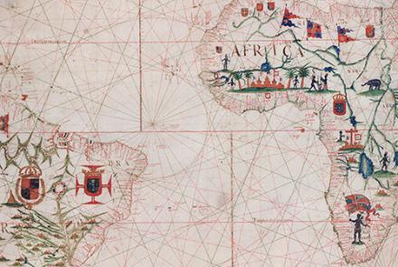
This chart of the Atlantic Ocean was created in 1633.

Map
This chart, showing the coast of western Florida’s Panhandle, was created in 1700.
Map
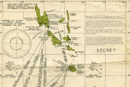
Charts like this were used by Navy pilots throughout the Pacific.
Map
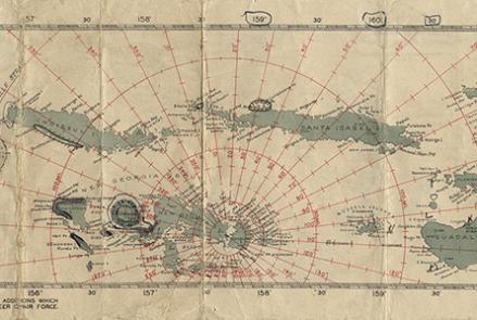
Charts like this were used by Navy pilots throughout the Pacific.

Map
Charts like this were used by Navy pilots throughout the Pacific.

Illustration
This Dutch mathematician patented the first working pendulum clock in 1656 and later devised a watch regulator called a balance spring. These inventions changed timekeeping forever.
Map
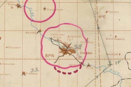
The radar chart depicted a mission to oil refineries on the outskirts of Ruhland on February 15, 1945.

Map
Compass rose on a chart of the Mediterranean, 1492.
