Multimedia Gallery
Search results for:
- Topic: Navigating In The Air
Displaying 61 - 70 of 263
Photograph
Charles Nungesser and François Coli in heavy flying clothes before their Paris to New York flight attempt.
Photograph
Led the Pan Am Airlines navigation service
Map
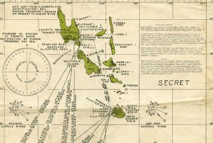
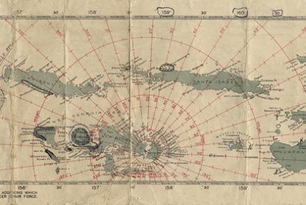
Charts like this were used by Navy pilots throughout the Pacific.
Map
Charts like this were used by Navy pilots throughout the Pacific.
Map
Charts like this were used by Navy pilots throughout the Pacific.
Photograph
Clarence D. Chamberlin and Charles Levine in front of their Bellanca WB-2 Miss Columbia
Map
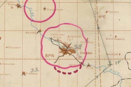
The radar chart depicted a mission to oil refineries on the outskirts of Ruhland on February 15, 1945.
Photograph
Long-range Navy patrol aircraft required better all-weather navigation systems like LORAN.
Photograph
Advanced navigation in bombers
Artifact
This forerunner of the ubiquitous E-6B flight computer was prominent in the five years before World War II.


