Multimedia Gallery
Search results for:
- Topic: Satellite Navigation
Displaying 21 - 30 of 118
Artifact
A hand-held GPS receiver that provided geographic coordinates and a graphical display.
Artifact
A hand-held GPS receiver that provided geographic coordinates and a graphical display.
Illustration
The shape of the Earth, known as a geoid, is shown here with colors and exaggerated heights from multiple points of view.
Illustration
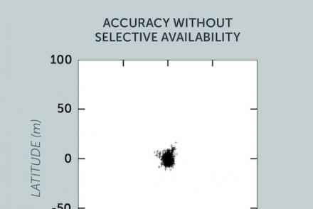
The image shows accuracy to within a radius of about 20 feet (6 meters).
Illustration
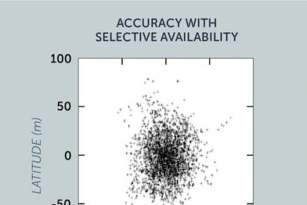
The image shows accuracy to within a radius of about 148 feet (45 meters).
Illustration
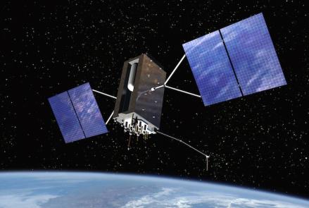
This artist's rendition of a new generation of GPS satellites.
Illustration
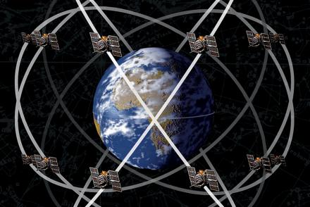
GPS satellites are positioned in precise, circular orbits 18,000 kilometers (11,000 miles) above the Earth. They orbit once every 12 hours.
Film
Length: 7 Minutes, 3 Seconds
Photograph
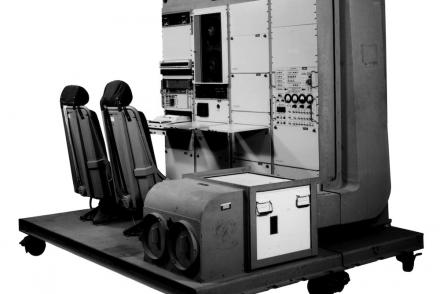
The first military GPS five-channel receiver, weighing 270 pounds.


