


Multimedia Gallery
- Topic: Satellite Navigation

Jim Whittaker uses a Magellan GPS receiver on Mt. Rainier.
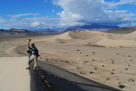
A Smithsonian researcher using high-precision GPS to survey a sand dune.
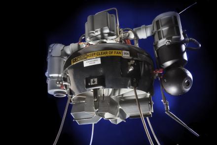
A tactical unmanned aerial vehicle for providing close observation in hazardous situations.
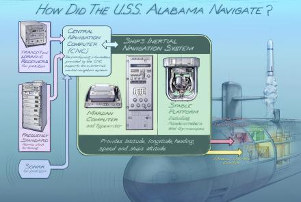
How did the USS Alabama navigate?
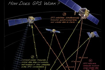
From maintaining infrastructure, transporting goods, delivering services, or just meeting friends, people often use technology just as sophisticated as that used by pilots and soldiers. How does it work?
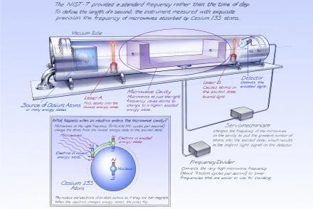
The NIST-7 provided a standard frequency rather than the time of day.
Length: 1 Minute, 8 Seconds
Length: 3 Minutes, 10 Seconds
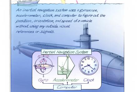
Inertial navigation systems determine the position, orientation, and velocity of a vehicle without using outside visual references.

Portable GPS jammers are traded clandestinely and used by those who wish not to be tracked or otherwise located by GPS.