Multimedia Gallery
Search results for:
- Topic: Navigation Tools
Displaying 151 - 160 of 186
Photograph
Engineers working on the third prototype GPS satellite.
Photograph
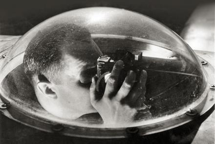
Army Air Corps navigation engineer
Artifact
This is one of the first commercial GPS receivers.
Artifact
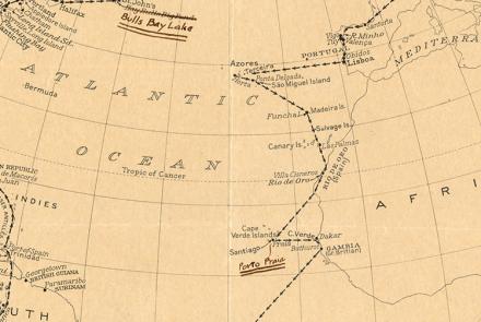
Route map created by Charles and Anne Morrow Lindbergh after their flight in the Tingmissartoq.
Artifact
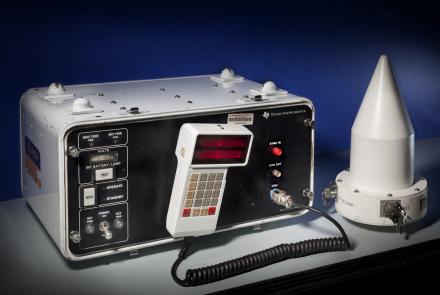
This device received navigation signals transmitted by Transit satellites passing overhead.
Photograph
Transit land navigation system installed in a vehicle.
Artifact
A backup Transit 5-A satellite from the 1970s.
Illustration
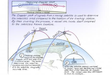
The Doppler shift of signals from a moving satellite is used to determine the satellite's orbit compared to the location of the tracking station.
Artifact
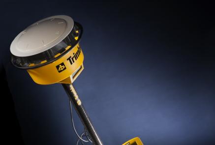
The Trimble 4800 GPS Receiver was used by professional surveyors.
Artifact
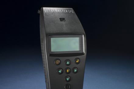
The hand-held GPS receiver was used for tasks such as land surveying and providing accurate time.


