


Multimedia Gallery
Search results for:
- Topic: Navigation Tools
Displaying 171 - 180 of 186
Illustration
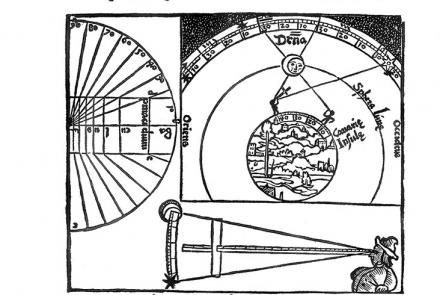
Astronomers had long known that the Moon changes its position against the background of the sky and stars fairly quickly. This steady motion could be used to measure time.

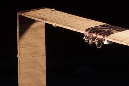
Illustration
Aircraft equipment interprets a bearing from time delay in signals transmitted by a ground-based station.

Map
VOR-based airways have been reliable, but they create inefficiencies and bottlenecks that GPS-based systems are better positioned to resolve.

Artifact
The clock from the Spirit of St. Louis.
Artifact
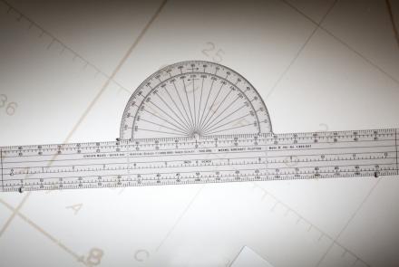
Weems developed this simple but effective plotter for aeronautical charts in 1935.
Artifact
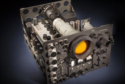
This Navy radar scope would have been used on long-range patrol aircraft for navigation and target location late in World War II and during the early Cold War.
Artifact
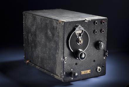
Used by Wiley Post on his Lockheed Vega 5-C Winnie Mae, 1934-35.

Artifact
Used by Wiley Post on his Lockheed Vega 5-C Winnie Mae, 1934-35.
Artifact
Used by Wiley Post on his Lockheed Vega 5-C Winnie Mae, 1934-35.

Illustration
Satellites and ground stations determine and broadcast corrections that enhance the navigational accuracy of the GPS system.