Multimedia Gallery
Search results for:
- Topic: Navigation Tools
Displaying 51 - 60 of 186
Artifact
This 1938 mechanical computer was a remarkable attempt to automate complex navigational processes.
Photograph
Ferdinand Berthoud, a Swiss clockmaker serving the king of France, produced many marine clocks.
Artifact
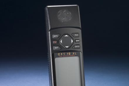
A hand-held GPS receiver that provided geographic coordinates and a graphical display.
Artifact
A hand-held GPS receiver that provided geographic coordinates and a graphical display.
Artifact
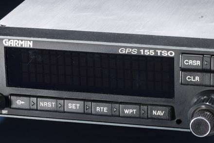
The certification set for the first GPS receiver certified for use under Instrument Flight Rules (IFR).
Artifact
A hand-held GPS receiver that provided geographic coordinates and a graphical display.
Map
British and American air navigators used this type of lattice chart with the Gee system over western Europe during World War II.
Map
British and American air navigators used this type of lattice chart with the Gee system over western Europe during World War II.
Map
British and American air navigators used this type of lattice chart with the Gee system over western Europe during World War II.
Illustration
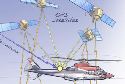
Aircraft equipment interprets time signals received from a network of satellites.


