Multimedia Gallery
- Search Terms: Charts
A wartime chart of a commonly used ferry route.
Ed Collen, a NASA engineer, built this prototype device as a backup for Apollo astronauts in case their primary navigation system failed.
Bats, Samoa (Pteropus samoensis)
Black-faced Coucal and Long-tailed Cuckoo, Pacific Islands (Centropus melanops, Eudynamys tahitus)
The U.S. Exploring Expedition included a formidable group of botanists, naturalists, artists, taxidermists, and other scientists.
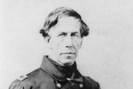
Captain Charles Wilkes led the U.S. Exploring Expedition, which sailed around the world between 1838 and 1842.
This chart showing Nova Scotia to Cape Cod, based on Samuel de Champlain’s observations, was published in 1607.
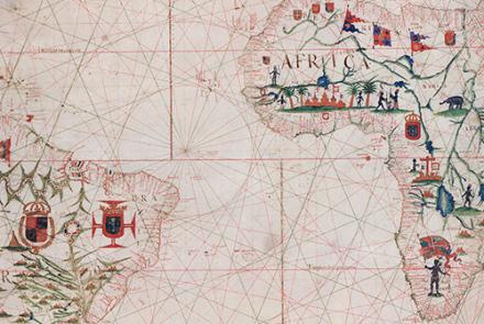
This chart of the Atlantic Ocean was created in 1633.
This chart, showing the coast of western Florida’s Panhandle, was created in 1700.
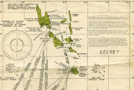
Charts like this were used by Navy pilots throughout the Pacific.


