


Multimedia Gallery
- Search Terms: Map
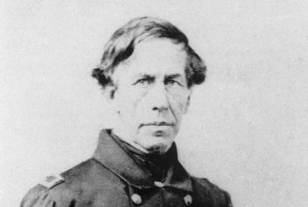
Captain Charles Wilkes led the U.S. Exploring Expedition, which sailed around the world between 1838 and 1842.

This chart showing Nova Scotia to Cape Cod, based on Samuel de Champlain’s observations, was published in 1607.
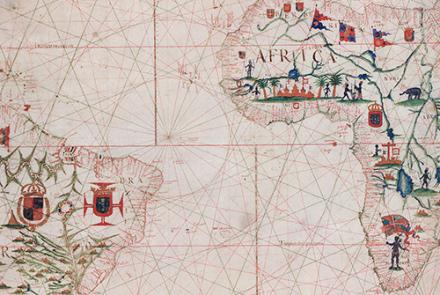
This chart of the Atlantic Ocean was created in 1633.

This chart, showing the coast of western Florida’s Panhandle, was created in 1700.

Compass rose on a chart of the Mediterranean, 1492.

Malay Dagger and Sheath, Indonesia

Deer, North America (Cervus macrotis)
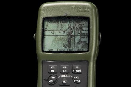
The DAGR was an improvement on the PLGR, providing map data in a lighter hand-held device.

Firefighter John F. Sullivan explains, “When firefighters enter a burning structure, especially large complex commercial buildings, they can quickly lose visibility and their ability to maintain orientation. And traditional GPS doesn’t work inside buildings.”