Multimedia Gallery
- Search Terms: Map
This graphic shows how personal radiometric and inertial navigation devices could allow incident commanders to keep track of firefighters within a burning building.
This graphic shows how personal radiometric and inertial navigation devices could allow incident commanders to keep track of firefighters within a burning building.
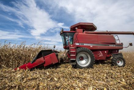
A combine, driven by farmer Tim Bardole, harvesting corn on his farm in Iowa. The combine is outfitted with a GPS guidance system.
A wartime chart of a commonly used ferry route.
Sailing without a chronometer, the Arniston crashed into reefs along the coast of South Africa and sank on May 30, 1815, killing about 340 people. Heading for the Horn of Africa, the ship’s captain headed north before he should have and slammed into the Lagullos Reef. The crew tried to save the ship, but it broke up in the sea, killing all the passengers and all but six of the crew.
Bats, Samoa (Pteropus samoensis)
Black-faced Coucal and Long-tailed Cuckoo, Pacific Islands (Centropus melanops, Eudynamys tahitus)
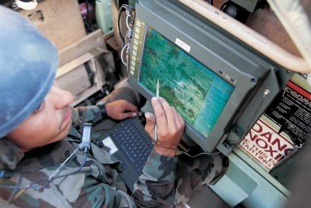
A soldier using the Blue Force Tracker System.
The U.S. Exploring Expedition included a formidable group of botanists, naturalists, artists, taxidermists, and other scientists.


