Multimedia Gallery
Search results for:
- Search Terms: Map
Displaying 51 - 60 of 85
Artifact
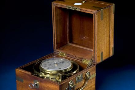
Chronometers like this one by Parkinson & Frodsham were used on the U.S. Exploring Expedition (1838-1842).
Artifact
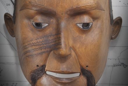
Mask, Oregon Territory
Illustration
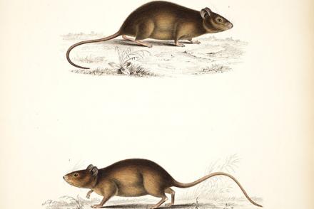
Mice, Funafuti Atoll (Mus exulans, Mus vitiensis)
Artifact
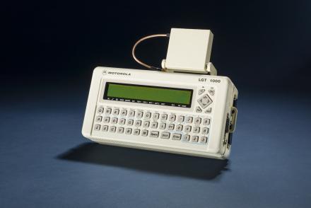
The Motorola LGT 1000 was used for better accuracy by scientists.
Artifact
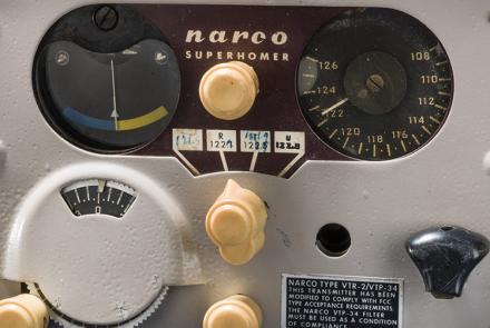
This mid-1950s era VOR receiver helped usher in a new era of all-weather navigation capability for light aircraft at moderate cost.
Document
Lt. Micajah G. L. Claiborne's remarks about navigation observations during the expedition.
Illustration
Parrots, Fiji (Aprosmicturs splendens, Aprosmictus personatus)
Artifact
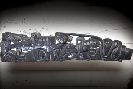
Pipe, Oregon Territory
Illustration
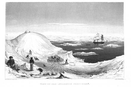
A sketch by Charles Wilkes during the U.S. Exploring Expedition.
Illustration
All three (positioning, navigation, and timing) are used together with map data and other information (weather or traffic data, for instance) in modern navigation systems.


