Multimedia Gallery
- Search Terms: Map
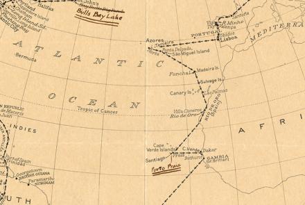
This map depicts their route and includes eyewitness accounts from crew members who had to navigate through unfamiliar seas and lands.
Route map created by Charles and Anne Morrow Lindbergh after their flight in the Tingmissartoq.
The U.S. Exploring Expedition included a formidable group of botanists, naturalists, artists, taxidermists, and other scientists.
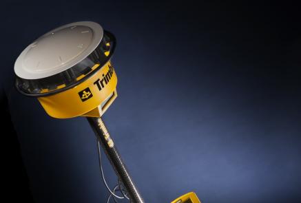
The Trimble 4800 GPS Receiver was used by professional surveyors.
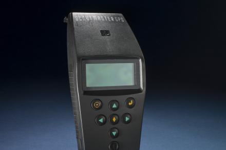
The hand-held GPS receiver was used for tasks such as land surveying and providing accurate time.
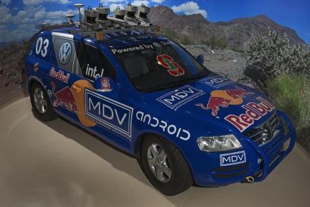
Stanley is an autonomous robotic vehicle that won the 2005 Grand Challenge.
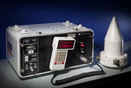
Aircraft equipment interprets a bearing from time delay in signals transmitted by a ground-based station.
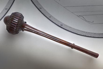
This war club was collected by the U.S. Exploring Expedition in Fiji.


