Multimedia Gallery
- Search Terms: U.S.
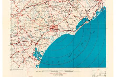
While returning from a “shuttle” mission to the Soviet Union on July 5, 1944, the 100th Bomb Group attacked targets in France. Crosby used this map during the mission.
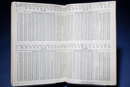
It reduced computations for celestial sightings through the use of the Greenwich Hour Angle.
Length: 2 Minutes, 10 Seconds
Josiah Perkins Creesy, Jr. commanded the ship, and, uncommon for the time, his wife Eleanor navigated. As a child in Massachusetts, she had learned navigation skills from her seafaring father.
This map depicts their route and includes eyewitness accounts from crew members who had to navigate through unfamiliar seas and lands.
Length: 1 Minutes, 32 Seconds
Length: 2 Minutes, 2 Seconds
The first picture of the Moon by a U.S. spacecraft, Ranger 7, in 1964.
Length: 1 Minute, 51 Seconds
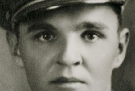
Army Air Corps navigation engineer


