


Multimedia Gallery
Search results for:
- Search Terms: U.S.
Displaying 31 - 40 of 156
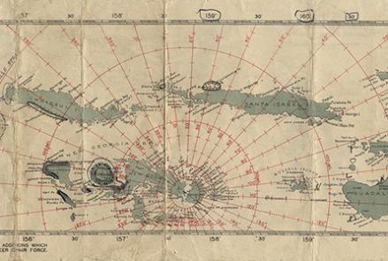
Map
Charts like this were used by Navy pilots throughout the Pacific.

Map
Charts like this were used by Navy pilots throughout the Pacific.

Photograph
Clarence D. Chamberlin and Charles Levine in front of their Bellanca WB-2 Miss Columbia

Photograph
Long-range Navy patrol aircraft required better all-weather navigation systems like LORAN.

Artifact
Malay Dagger and Sheath, Indonesia

Illustration
Deer, North America (Cervus macrotis)
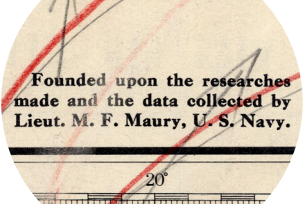
Map
Matthew Fontaine Maury is the father of modern hydrography in the United States Navy.

Map
U.S. Navy hydrographers computed an alternate course for Elder and Haldeman after they disappeared.
Illustration
Transit was the first satellite-based global positioning and navigation system.

Illustration
Dolphins (Lagenorhnychus lateralis, Delphinus borealis)