Multimedia Gallery
Search results for:
- Search Terms: United States
Displaying 21 - 30 of 95
Map
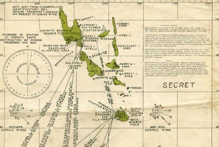
Charts like this were used by Navy pilots throughout the Pacific.
Map
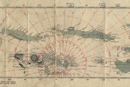
Charts like this were used by Navy pilots throughout the Pacific.
Map
Charts like this were used by Navy pilots throughout the Pacific.
Photograph
Clarence D. Chamberlin and Charles Levine in front of their Bellanca WB-2 Miss Columbia
Photograph
Long-range Navy patrol aircraft required better all-weather navigation systems like LORAN.
Artifact
This forerunner of the ubiquitous E-6B flight computer was prominent in the five years before World War II.
Map
The Azores have long been a popular way station for transatlantic flights.
Map
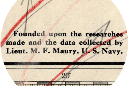
Matthew Fontaine Maury is the father of modern hydrography in the United States Navy.
Photograph
An astrodome on a Douglas C-47, circa 1944.
Photograph
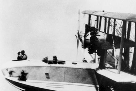
A navigator making sightings from the nose of a U.S. Navy Douglas PD-1.


