Multimedia Gallery
- Media Type: Map
A wartime chart of a commonly used ferry route.
Sailing without a chronometer, the Arniston crashed into reefs along the coast of South Africa and sank on May 30, 1815, killing about 340 people. Heading for the Horn of Africa, the ship’s captain headed north before he should have and slammed into the Lagullos Reef. The crew tried to save the ship, but it broke up in the sea, killing all the passengers and all but six of the crew.
This chart showing Nova Scotia to Cape Cod, based on Samuel de Champlain’s observations, was published in 1607.
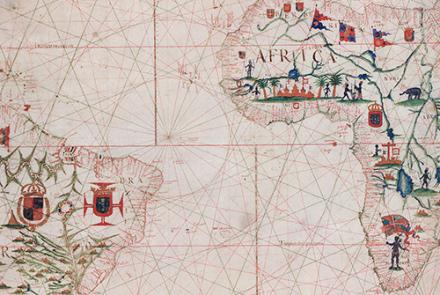
This chart of the Atlantic Ocean was created in 1633.
This chart, showing the coast of western Florida’s Panhandle, was created in 1700.
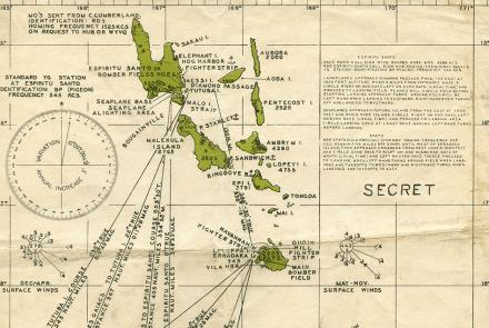
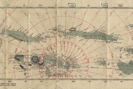
Charts like this were used by Navy pilots throughout the Pacific.
Charts like this were used by Navy pilots throughout the Pacific.
Charts like this were used by Navy pilots throughout the Pacific.


