Multimedia Gallery
Search results for:
- Media Type: Map
Displaying 21 - 30 of 30
Map
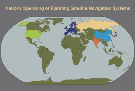
Map of nations with satellite navigation systems.
Map
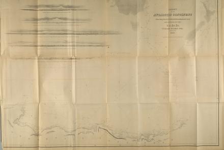
Map produced by the U.S. Exploring Expedition
Map
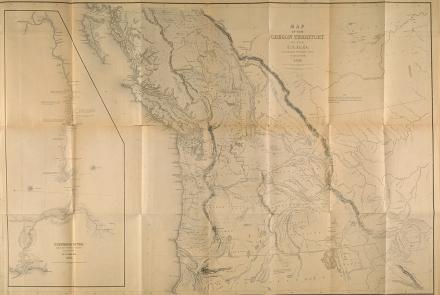
Map produced by the U.S. Exploring Expedition
Map
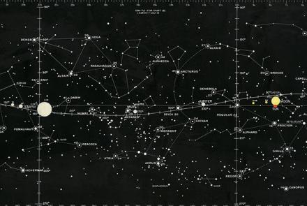
This Star Chart was used to train Apollo astronauts.
Map
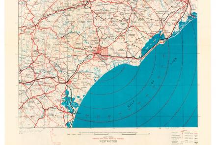
While returning from a “shuttle” mission to the Soviet Union on July 5, 1944, the 100th Bomb Group attacked targets in France. Crosby used this map during the mission.
Map
This map depicts their route and includes eyewitness accounts from crew members who had to navigate through unfamiliar seas and lands.
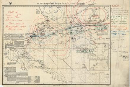
U.S. Navy Hydrographic Office Chart depicting Ruth Elder’s disappearance over the Atlantic, Oct.1927
Map
Aviator Ruth Elder and her co-pilot/instructor George Haldeman disappeared over the Atlantic creating a desperate scramble to determine their whereabouts.
Map
VOR-based airways have been reliable, but they create inefficiencies and bottlenecks that GPS-based systems are better positioned to resolve.
Map
World map by Philipp Eckebrecht, 1630
Map
Radar chart, possibly used by the U.S. Eighth Air Force on the Dresden raid, February 15, 1945.


