Multimedia Gallery
Search results for:
- Topic: Navigating In The Air
Displaying 101 - 110 of 263
Photograph
Ruth Elder poses in a publicity still for Universal’s “Winged Horseman” (1929) while holding a model evocative of her transatlantic Stinson.
Photograph
1922 first attempted South Atlantic crossing by air in Fairey IIIDs "Lusitania", "Portugal", and "Santa Cruz" (the airplanes were successively wrecked in the crossing, so the flight cannot be considered a continuous successful crossing)
Artifact
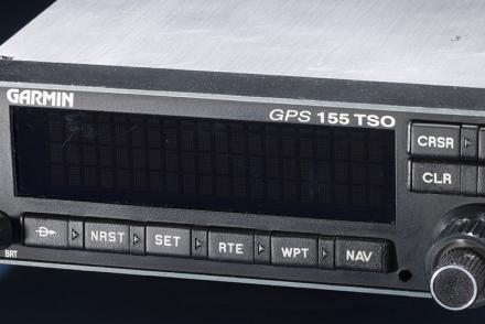
The certification set for the first GPS receiver certified for use under Instrument Flight Rules (IFR).
Illustration
Line drawing of the prototype Gatty drift meter.
Map
British and American air navigators used this type of lattice chart with the Gee system over western Europe during World War II.
Map
British and American air navigators used this type of lattice chart with the Gee system over western Europe during World War II.
Map
British and American air navigators used this type of lattice chart with the Gee system over western Europe during World War II.
Photograph
Chief of the Italian Air Force, 1931 South Atlantic crossing from Orbetello to Rio de Janiero, Black Squadron, S.I.A.I. S.55X "I-VALL"
Illustration
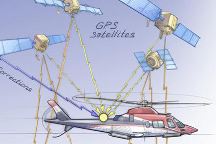
Aircraft equipment interprets time signals received from a network of satellites.
Illustration
This chart taken from an Eighth Air Force report illustrates the relative accuracy of visual bombing methods with radar bombing. As can be seen, radar bombing was far less accurate.


