Multimedia Gallery
- Topic: Satellite Navigation
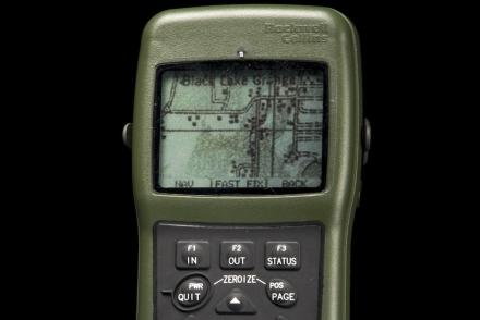
The DAGR was an improvement on the PLGR, providing map data in a lighter hand-held device.
Firefighter John F. Sullivan explains, “When firefighters enter a burning structure, especially large complex commercial buildings, they can quickly lose visibility and their ability to maintain orientation. And traditional GPS doesn’t work inside buildings.”
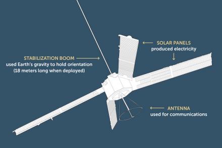
Transit was the first satellite-based global positioning and navigation system.
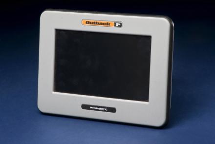
Roy Bardole used this touch-screen computer and an antenna (not shown) to receive enhanced GPS signals for working corn and soybean acreage in Iowa.
This equipment made up a prototype emergency location service based on GPS positioning.
SECOR, a satellite used as part of a U.S. Army experimental navigation system.
This represents the first demonstration of a tiny atomic clock.
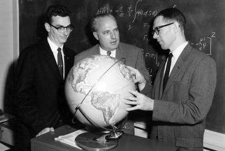
Mathematician Bill Guier (left), APL Research Center director Frank T. McClure (center), and physicist George Weiffenbach (right).
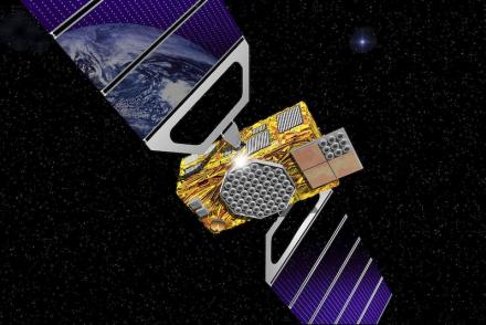
This rendition shows how a future Galileo satellite will look.
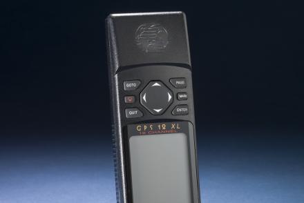
A hand-held GPS receiver that provided geographic coordinates and a graphical display.


