Multimedia Gallery
- Search Terms: Map
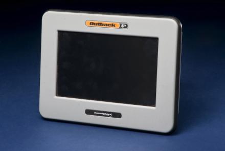
Roy Bardole used this touch-screen computer and an antenna (not shown) to receive enhanced GPS signals for working corn and soybean acreage in Iowa.
Dolphins (Lagenorhnychus lateralis, Delphinus borealis)
This equipment made up a prototype emergency location service based on GPS positioning.
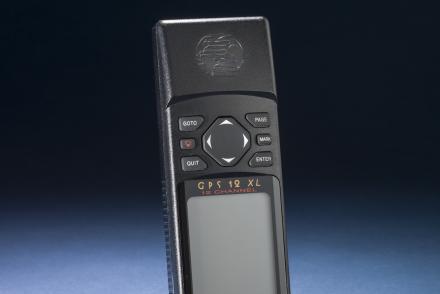
A hand-held GPS receiver that provided geographic coordinates and a graphical display.
A hand-held GPS receiver that provided geographic coordinates and a graphical display.
A hand-held GPS receiver that provided geographic coordinates and a graphical display.
Gekkos, Malaysia (Gehyra vorax, Gekko indicus,Naultinus punctatus)
The shape of the Earth, known as a geoid, is shown here with colors and exaggerated heights from multiple points of view.
Striking green ornaments made by the Maori were created from a kind of jade.
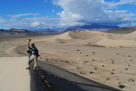
A Smithsonian researcher using high-precision GPS to survey a sand dune.


