Multimedia Gallery
- Search Terms: Map
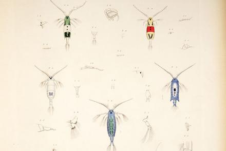
Pontella, Indian Ocean (Pontella speciosa, Pontella detonsa ?, Pontella princeps, Pontella fera, Pontella valida)
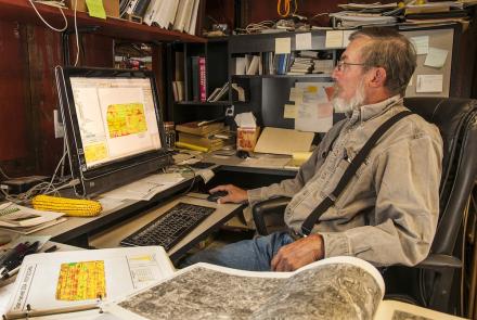
A corn and soybean farmer from Rippey, Iowa.
Farmer Roy Bardole, seated in his office, views an agricultural GPS image on his computer monitor while field maps are laid out on his desk.
Farmer Roy Bardole seated at the controls of his combine in a cornfield on farm in Iowa. A GPS guidance system display is mounted at the top center on right side of cab.
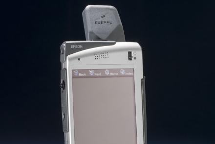
The Seiko Epson Digital Assistant was one of the earliest devices to incorporate GPS navigation with communication features.
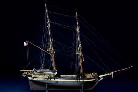
One of six ships of the U.S. Exploring Expedition, the Porpoise sailed around the world between 1838 and 1842.
Snakes, South America (Callirhinus patagoniensis, Dendrophis prasinus)
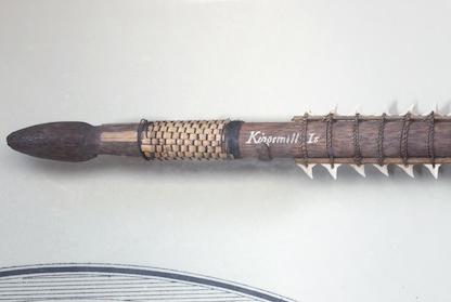
This sword made from shark teeth was collected by the U.S. Exploring Expedition in the Gilbert Islands.
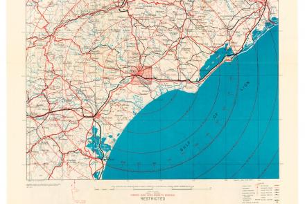
While returning from a “shuttle” mission to the Soviet Union on July 5, 1944, the 100th Bomb Group attacked targets in France. Crosby used this map during the mission.


