


Multimedia Gallery
Displaying 191 - 200 of 534
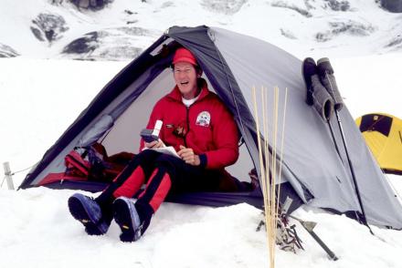
Photograph
Jim Whittaker uses a Magellan GPS receiver on Mt. Rainier.

Illustration
This chart taken from an Eighth Air Force report illustrates the relative accuracy of visual bombing methods with radar bombing. As can be seen, radar bombing was far less accurate.
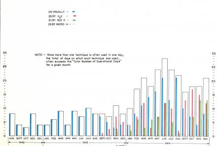
Illustration
This chart taken from an Eighth Air Force report illustrates the growing dependence on radar bombing methods in the last year of the war in Europe.
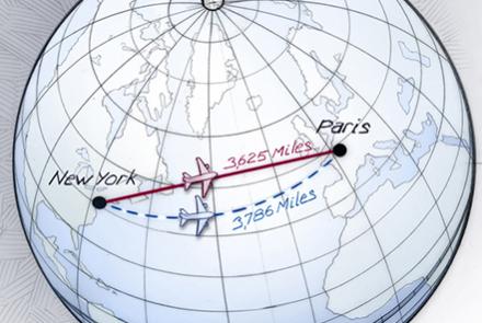
Illustration
The shortest distance between two points on a globe is not always a straight line—it’s an arc called a great circle.

Illustration
Guidance, navigation, and control are three central facets of managing a craft in space.
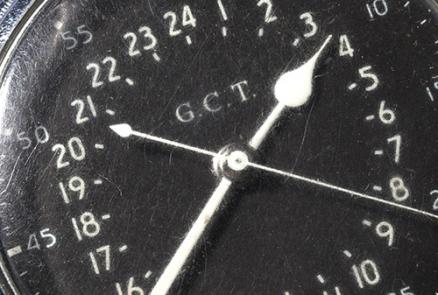
Artifact
A post-war periscopic sextant often mounted this type of watch.
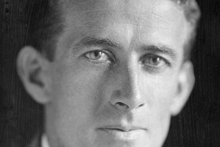
Photograph
Developed navigation tools, trained distance fliers in air navigation, and advised the Army Air Corps
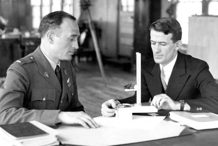
Photograph
Harold Gatty instructs an Air Corps officer in the use of the drift indicator he invented.
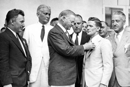
Photograph
Presented by President Herbert Hoover at the White House on August 18, 1932.
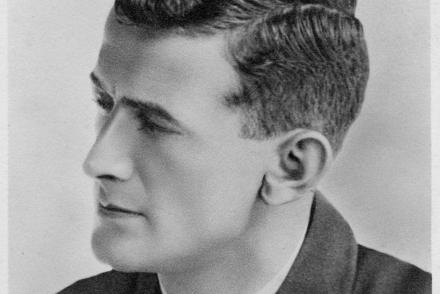
Photograph
Navigator for 1931 Wiley Post around-the-world record flight in Lockheed Vega V-C "Winnie Mae"