


Multimedia Gallery
Displaying 171 - 180 of 534
Artifact
A hand-held GPS receiver that provided geographic coordinates and a graphical display.

Artifact
A hand-held GPS receiver that provided geographic coordinates and a graphical display.
Artifact
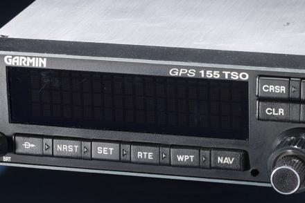
The certification set for the first GPS receiver certified for use under Instrument Flight Rules (IFR).

Artifact
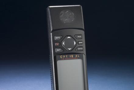
A hand-held GPS receiver that provided geographic coordinates and a graphical display.

Illustration
Line drawing of the prototype Gatty drift meter.

Map
British and American air navigators used this type of lattice chart with the Gee system over western Europe during World War II.

Map
British and American air navigators used this type of lattice chart with the Gee system over western Europe during World War II.

Map
British and American air navigators used this type of lattice chart with the Gee system over western Europe during World War II.

Illustration
Gekkos, Malaysia (Gehyra vorax, Gekko indicus,Naultinus punctatus)

Photograph
Chief of the Italian Air Force, 1931 South Atlantic crossing from Orbetello to Rio de Janiero, Black Squadron, S.I.A.I. S.55X "I-VALL"