


Multimedia Gallery
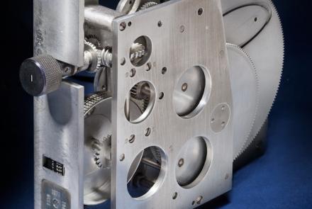
This mechanical cassette was used with the Fairchild-Maxson Line of Position Computer.
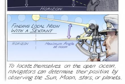
To locate themselves on the open ocean, navigators can determine their position by observing the Sun, Moon, stars, or planets. Some of these techniques involved using the North Star, the Lunar Distance Method, and finding local noon with a sextant.
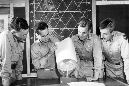
Student navigators learning about celestial navigation.

A cesium clock like this was tested on the NTS-2 satellite to see if clocks could keep accurate time in space.
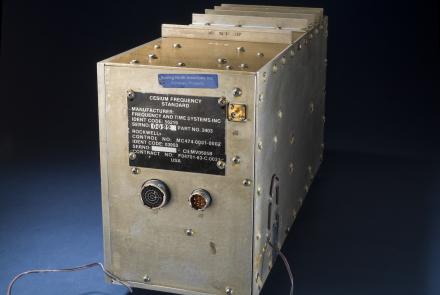
This atomic clock was built for the first GPS satellites in the late 1970s.

Made first solo trans-polar flight with Weems pre-comp navigation

Made first trans-polar flight with assistance of P. V. H. Weems.

Charles Nungesser and François Coli in heavy flying clothes before their Paris to New York flight attempt.

The U.S. Exploring Expedition included a formidable group of botanists, naturalists, artists, taxidermists, and other scientists.

A professor and aeronautical engineer at MIT, Charles Stark Draper played a major role in advancing the art of inertial navigation.