


Multimedia Gallery
Displaying 301 - 310 of 534

Photograph
GPS and other satellite positioning systems were designed to use quiet parts of the spectrum.

Photograph
Mechanic for 1927 first night South Atlantic aerial crossing, by Sarmento de Bieres in Dornier Do J Wal "Argos"
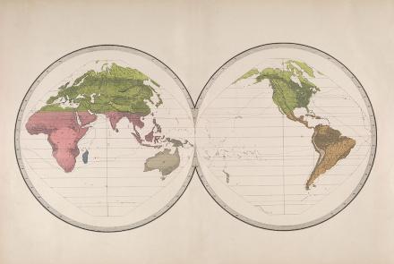
Map
Map of Geographical Distribution of Plants and Animals for the U.S. Exploring Expedition
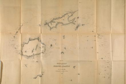
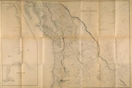
Map
Map produced by the U.S. Exploring Expedition.
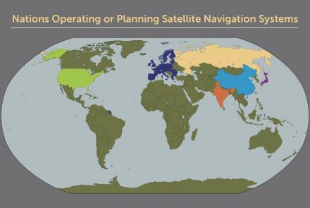
Map
Map of nations with satellite navigation systems.
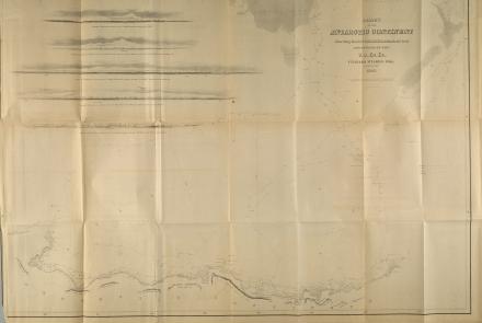
Map
Map produced by the U.S. Exploring Expedition
Map
Map produced by the U.S. Exploring Expedition
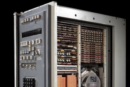
Artifact
This computer, located in the Alabama’s navigation center, processed the data derived from the gyroscopes and accelerometers.

Illustration
Marine chronometers are precise, specialized clocks for finding longitude at sea. They serve as portable time standards.
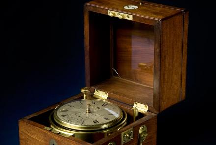
Artifact
Chronometers like this one by Arnold & Dent were used on the U.S. Exploring Expedition (1838-1842).