Multimedia Gallery
- Search Terms: GPS
A combine, driven by farmer Tim Bardole, harvesting corn on his farm in Iowa. The combine is outfitted with a GPS guidance system.
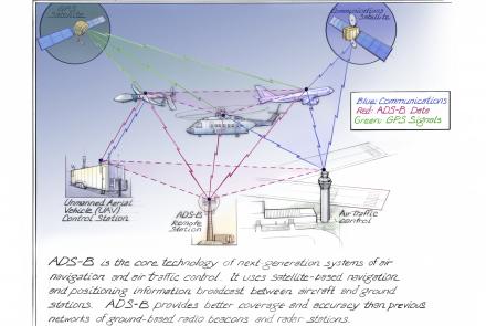
ADS-B is the core technology of next-generation systems of air navigation and air traffic control.
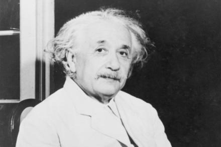
The atomic clocks in the GPS system are so accurate that they take into account Albert Einstein’s understanding of time, space, and relativity.
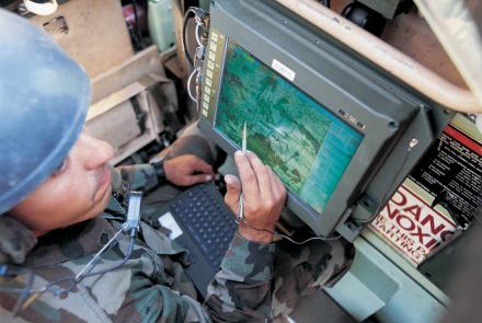
A soldier using the Blue Force Tracker System.
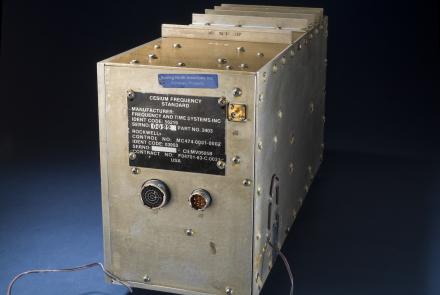
This atomic clock was built for the first GPS satellites in the late 1970s.
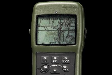
The DAGR was an improvement on the PLGR, providing map data in a lighter hand-held device.
Firefighter John F. Sullivan explains, “When firefighters enter a burning structure, especially large complex commercial buildings, they can quickly lose visibility and their ability to maintain orientation. And traditional GPS doesn’t work inside buildings.”
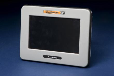
Roy Bardole used this touch-screen computer and an antenna (not shown) to receive enhanced GPS signals for working corn and soybean acreage in Iowa.
This equipment made up a prototype emergency location service based on GPS positioning.
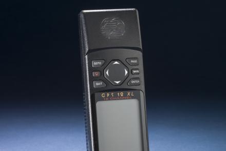
A hand-held GPS receiver that provided geographic coordinates and a graphical display.


