


Multimedia Gallery

The increasing reliance on navigation satellites for military and commercial activities makes them a tempting target for an enemy.
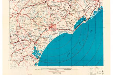
While returning from a “shuttle” mission to the Soviet Union on July 5, 1944, the 100th Bomb Group attacked targets in France. Crosby used this map during the mission.

Preparation of GOES spacecraft launched during the 1970s and 1980s.

Charlie Buhler (left), Al Jacoby (middle), and
Roy Harding (right) of NRL install thermal blankets on the NTS-2 qualification model.

Smithsonian scientist with a vehicle equipped with a Transit land navigation system.

Terrence Tully and navigator James V. Medcalf


Engineers testing a transmitter for the 621B system.
The certification set for the first-general aviation LORAN-C receiver.
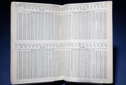
It reduced computations for celestial sightings through the use of the Greenwich Hour Angle.