Used by Wiley Post on his Lockheed Vega 5-C Winnie Mae, 1934-35.
Credit: National Air and Space Museum, Smithsonian Institution.

Radio Navigation: “Flying the Beam”

Radio navigation became the most important air navigation technology.

Before World War II, radio navigation could only provide a course or a bearing to a station. The invention of timekeeping technologies, such as the crystal oscillator, led to a new era of systems that could fix position accurately and were easier to use. Each system of radio navigation uses time in a slightly different way and each requires its own type of navigational charting.

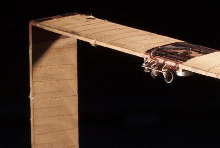
By World War II, a web of air navigation radio stations and beacons connected by “airways” began to cover the globe. When war broke out, new military equipment revolutionized air navigation. This allowed less experienced users to achieve the same results as highly trained celestial navigators and eventually decreased the need for professional navigators.

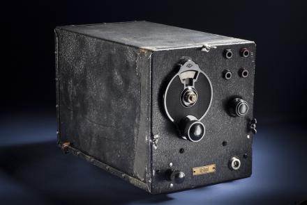
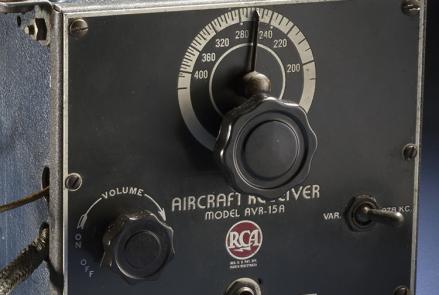
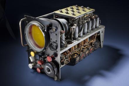
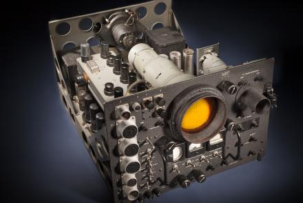
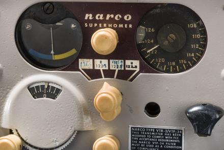
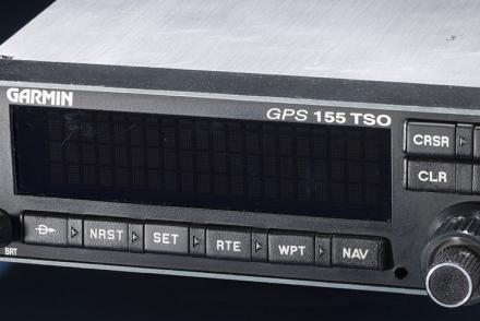
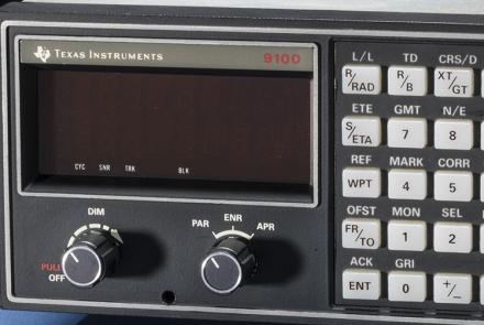
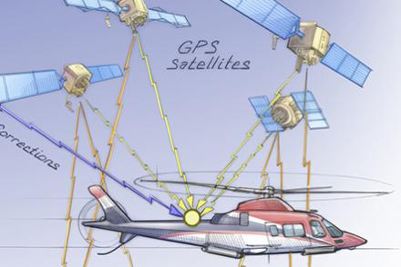
TOOLS: Radio Direction Finding (RDF) stations, radio compasses, radio range, Very High Frequency Omni Range (VOR), YE-ZB, radar, Gee, Decca, LORAN, GPS.
ADVANTAGE: Works when out of sight of the ground and/or sky.
DISADVANTAGE: Requires complex and heavy equipment in the aircraft and a complex array of ground and/or space-based equipment and infrastructure.
CHALLENGES: Subject to natural or manmade interference. Most prone to technical failure.

Wiley Post used this radio compass for a nonstop stratospheric transcontinental flight attempt in his Lockheed Vega Winnie Mae. He had to position the square antenna “loop” manually to home in on commercial broadcast radio stations.
Wiley Post used this radio compass for a nonstop stratospheric transcontinental flight attempt in his Lockheed Vega plane, the Winnie Mae. He had to position the square antenna “loop” manually to home in on commercial broadcast radio stations.
Wiley Post used this radio compass for a nonstop stratospheric transcontinental flight attempt in his Lockheed Vega Winnie Mae. He had to position the square antenna “loop” manually to home in on commercial broadcast radio stations.
This is a typical radio range receiver used in the late 1930s on private airplanes.
The British Royal Air Force and the U.S. Eighth Air Force relied extensively on the GEE hyperbolic system in their bombing campaigns over Europe, where it was essential in the overcast skies. Late in the war, GEE combined with a system of radar beacons (known as GEE-H) allowed the bomber crews to attack their targets without seeing them.
This Navy radar scope would have been used on long-range patrol aircraft, such as the Consolidated PB4Y, late in World War II and during the early Cold War. U.S. bombers during World War II used radar for short-range navigation—under 80 kilometers (50 miles)—and for bombing through clouds and at night (but less accurately than conventional bombsights). The system was only effective in locating cities and shorelines.
The APN-4 was the first LORAN set for aircraft to enter service. It had a separate receiver and display unit. The navigator had a leather hood to put over the oscilloscope’s cathode ray tube so he could clearly see it in daylight. LORAN was most valuable when the skies couldn’t be seen for celestial navigation and when coastlines couldn’t be picked up by radar. It did require a skilled operator.
This mid-1950s era VOR receiver helped usher in a new era of all-weather navigation capability for light aircraft at moderate cost. After World War II, Very-high frequency Omni Range (VOR) technology merged highly accurate crystal oscillators (timers), based in remotely operated ground stations, with high-frequency transmissions. VORs were much more accurate, reliable, and easier to use than the earlier radio range system. 
The GPS 155 was the first Global Positioning System (GPS) receiver certified for U.S. operation in Instrument Flight Rules (navigating only by instruments). This certification marked the move toward a single GPS-centered navigational and surveillance system for air traffic control.
This is the certification set for the first-general aviation LORAN-C receiver. LORAN (LOng RAnge Navigation) was developed in the United States during World War II. It was the dominant system of long-range electronic navigation from 1943 until the widespread use of the Global Positioning System in the late 1990s. LORAN-C emerged in the late 1950s with the advent of improved timing equipment at LORAN stations. The TI 9100 was a milestone because the "microprocessor revolution" of the early 1980s permitted the automation of many LORAN-C functions that limited its practicality for single pilot use. It also significantly reduced size, power consumption, weight, and cost. LORAN-C was not approved for navigation under Instrument Flight Rules (IFR), thus its overall impact on general aviation aircraft was relatively small. 
Aircraft equipment interprets time signals received from a network of satellites.